Mapping
For almost 40 years Orienteering Unlimited has produced high quality maps for orienteering and educational purposes.
An ideal way for participants to learn the often on taught skills of navigating on a map is to start with a small familiar area like a school classroom or campus. The vehicle for teaching these skills is a high-quality map which can also be used for variety of educational purposes. Orienteering Unlimited can produce these attractive and functional documents for you. Also it is a way in which participants can also learn about the process of mapmaking and technology.
Orienteering Unlimited uses the OCAD map drawing software for the production of most of its maps.
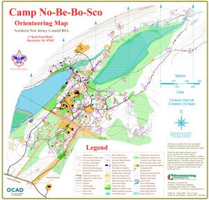
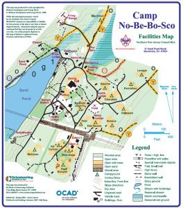
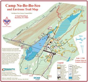
One of the great advantages of using the OCAD software is that it is fairly easy to transform maps from one style to another. For example, we can easily create Trail and Facility maps from an orienteering map. Facility maps can emphasize different features of your site and services you offer.
Below are some samples of orienteering, trail and facility maps of the same site. Click on map for a PDF enlargement.


